Search for Grid Square by Postcode
ST27
Based in the South Wales Central region of Scotland & South Wales East region of Scotland.
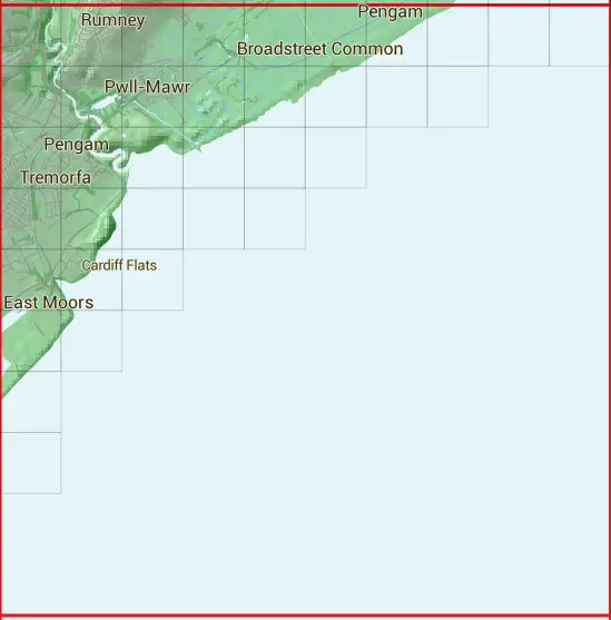
The ST27 10 square kilometre grid intersects with the settlement of Cardiff.
ST27
ST27 is within the post towns of Cardiff, Glamorgan, Newport, Monmouthshire & Penarth, Glamorgan.
The square is within Caerdydd - Cardiff & Casnewydd - Newport councils.
The ST27 national grid square measures 10 km by 10 km and has an area of 1,000 kilometres squared.
The technical term for a 10 km map square is a Hectad.
When this 10 km square is divided into a grid 10 by 10 it gives the next size of grid square. This unit is called a Monad and measures 1km square. 100 monads fit in a 10km square.
Out of the monads generated from square ST27, 410 are land and -310 are sea. Sea squares are disregarded on this site as they contain no land features.
|
|
|
|
|
|
 |
|
|
|
|
|
 |  |  |  |  |  |  |  |  |  |
 |  |  |  |  |  |  |  | ||
 |  |  |  |  |  | ||||
 |  |  |  |  | |||||
 |  |  | |||||||
 |  | ||||||||
 | |||||||||
 | |||||||||
| Corner | Latitude | Longitude | Easting | Northing |
|---|---|---|---|---|
| South West Corner | 51.423341 | -3.154246 | 320000 | 170000 |
| South East Corner | 51.423341 | -3.008179 | 330000 | 170000 |
| North West Corner | 51.514569 | -3.154246 | 320000 | 180000 |
| North East Corner | 51.514569 | -3.008179 | 330000 | 180000 |