Search for Grid Square by Postcode
NO61
Based in the Mid Scotland and Fife region of Scotland.
NO61
NO61 is within the post towns of Anstruther, Fife & St. Andrews, Fife.
The square is within Fife council.
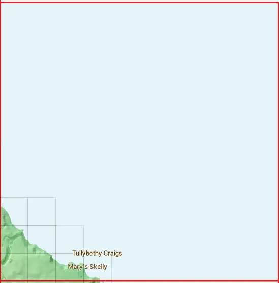
The NO61 national grid square measures 10 km by 10 km and has an area of 1,000 kilometres squared.
The technical term for a 10 km map square is a Hectad.
When this 10 km square is divided into a grid 10 by 10 it gives the next size of grid square. This unit is called a Monad and measures 1km square. 100 monads fit in a 10km square.
Out of the monads generated from square NO61, 286 are land and -186 are sea. Sea squares are disregarded on this site as they contain no land features.
|
|
||
|
|
 |
|
|
|
|
 |  | ||||||||
 |  |  | |||||||
 |  |  |  |
| Corner | Latitude | Longitude | Easting | Northing |
|---|---|---|---|---|
| South West Corner | 56.280759 | -2.649156 | 360000 | 710000 |
| South East Corner | 56.280759 | -2.486132 | 370000 | 710000 |
| North West Corner | 56.371338 | -2.649156 | 360000 | 720000 |
| North East Corner | 56.371338 | -2.486132 | 370000 | 720000 |