Search for Grid Square by Postcode
TR37
Based in the South East English Region.
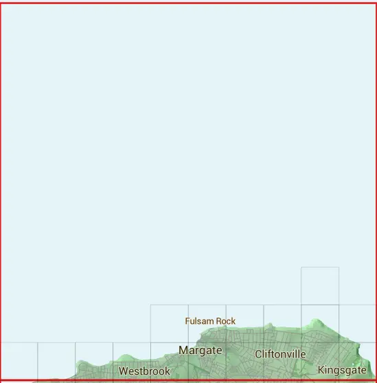
The TR37 10 square kilometre grid intersects with the settlements of Broadstairs & Margate.
TR37
TR37 is within the post towns of Birchington, Kent, Broadstairs, Kent, Margate, Kent & Westgate-on-sea, Kent.
The square is within Thanet District council.
The TR37 national grid square measures 10 km by 10 km and has an area of 1,000 kilometres squared.
The technical term for a 10 km map square is a Hectad.
When this 10 km square is divided into a grid 10 by 10 it gives the next size of grid square. This unit is called a Monad and measures 1km square. 100 monads fit in a 10km square.
Out of the monads generated from square TR37, 87 are land and 13 are sea. Sea squares are disregarded on this site as they contain no land features.
|
|
 |
|
|
|
|
|
 | |||||||||
 |  |  |  |  |  | ||||
 |  |  |  |  |  |  |  |  |  |
| Corner | Latitude | Longitude | Easting | Northing |
|---|---|---|---|---|
| South West Corner | 51.378292 | 1.303961 | 630000 | 170000 |
| South East Corner | 51.378292 | 1.454163 | 640000 | 170000 |
| North West Corner | 51.472194 | 1.303961 | 630000 | 180000 |
| North East Corner | 51.472194 | 1.454163 | 640000 | 180000 |