Search for Grid Square by Postcode
TQ91
Based in the South East English Region.
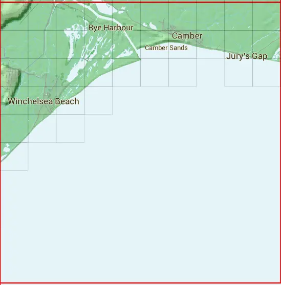
The TQ91 10 square kilometre grid intersects with the settlements of Camber,Rye,Winchelsea & Winchelsea Beach.
TQ91
TQ91 is within the post towns of Hastings, Sussex, Rye, Sussex & Winchelsea, Sussex.
The square is within Folkestone and Hythe District & Rother District councils.
The TQ91 national grid square measures 10 km by 10 km and has an area of 1,000 kilometres squared.
The technical term for a 10 km map square is a Hectad.
When this 10 km square is divided into a grid 10 by 10 it gives the next size of grid square. This unit is called a Monad and measures 1km square. 100 monads fit in a 10km square.
Out of the monads generated from square TQ91, 432 are land and -332 are sea. Sea squares are disregarded on this site as they contain no land features.
|
|
|
|
|
|
 |
|
|
|
 |  |  |  |  |  |  |  |  |  |
 |  |  |  |  |  |  |  |  |  |
 |  |  |  |  |  |  |  |  | |
 |  |  |  | ||||||
 |  |  | |||||||
 | |||||||||
| Corner | Latitude | Longitude | Easting | Northing |
|---|---|---|---|---|
| South West Corner | 50.854923 | 0.698295 | 590000 | 110000 |
| South East Corner | 50.854923 | 0.845676 | 600000 | 110000 |
| North West Corner | 50.948115 | 0.698295 | 590000 | 120000 |
| North East Corner | 50.948115 | 0.845676 | 600000 | 120000 |