Search for Grid Square by Postcode
SZ79
Based in the South East English Region.
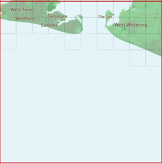
The SZ79 10 square kilometre grid intersects with the settlements of East Wittering,South Hayling & West Wittering.
SZ79
SZ79 is within the post towns of Chichester, Sussex & Hayling Island, Hampshire.
The square is within Chichester District & Havant District councils.
The SZ79 national grid square measures 10 km by 10 km and has an area of 1,000 kilometres squared.
The technical term for a 10 km map square is a Hectad.
When this 10 km square is divided into a grid 10 by 10 it gives the next size of grid square. This unit is called a Monad and measures 1km square. 100 monads fit in a 10km square.
Out of the monads generated from square SZ79, 166 are land and -66 are sea. Sea squares are disregarded on this site as they contain no land features.
|
|
|
|
|
|
 |
|
|
|
 |  |  |  |  |  |  |  |  |  |
 |  |  |  |  |  |  |  |  |  |
 |  |  |  |  |  | ||||
 |  | ||||||||
| Corner | Latitude | Longitude | Easting | Northing |
|---|---|---|---|---|
| South West Corner | 50.704135 | -1.010050 | 470000 | 90000 |
| South East Corner | 50.704135 | -0.866290 | 480000 | 90000 |
| North West Corner | 50.795335 | -1.010050 | 470000 | 100000 |
| North East Corner | 50.795335 | -0.866290 | 480000 | 100000 |