Search for Grid Square by Postcode
NG63
Based in the Highlands and Islands region of Scotland.
NG63
NG63 is within the post towns of Isle Of Skye, Inverness-shire, Kyle, Ross-shire & Strathcarron, Ross-shire.
The square is within Highland council.
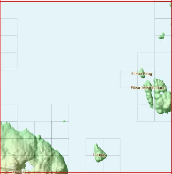
The NG63 national grid square measures 10 km by 10 km and has an area of 1,000 kilometres squared.
The technical term for a 10 km map square is a Hectad.
When this 10 km square is divided into a grid 10 by 10 it gives the next size of grid square. This unit is called a Monad and measures 1km square. 100 monads fit in a 10km square.
Out of the monads generated from square NG63, 267 are land and -167 are sea. Sea squares are disregarded on this site as they contain no land features.
|
|
|
|
|
|
 |
|
|
|
|
|
 | |||||||||
 |  | ||||||||
 |  | ||||||||
 |  | ||||||||
 |  |  | |||||||
 |  | ||||||||
 |  |  |  | ||||||
 |  |  |  | ||||||
 |  |  |  |  |  | ||||
 |  |  |  |  |  |
| Corner | Latitude | Longitude | Easting | Northing |
|---|---|---|---|---|
| South West Corner | 57.297286 | -5.995155 | 160000 | 830000 |
| South East Corner | 57.297286 | -5.819858 | 170000 | 830000 |
| North West Corner | 57.392059 | -5.995155 | 160000 | 840000 |
| North East Corner | 57.392059 | -5.819858 | 170000 | 840000 |